
Naches Peak Loop Trail sits off of Highway 410, right at Chinook Pass and just along the boundary of Mt. Rainier National Park. A portion of the trail is outside of the park boundary but also links up with the PCT (Pacific Crest Trail). It’s a gorgeous trail and we were lucky to catch it during the late wildflower bloom.
The girls and I left our house early in the morning, hoping to hit the trailhead before the crowds. I had been stalking the WTA website for trail reports about the flowers blooming and knew that once the bloom started, the crowds would get larger. Going on a weekday always helps but it doesn’t always guarantee quiet trails. Lucky for us an early start paid off.
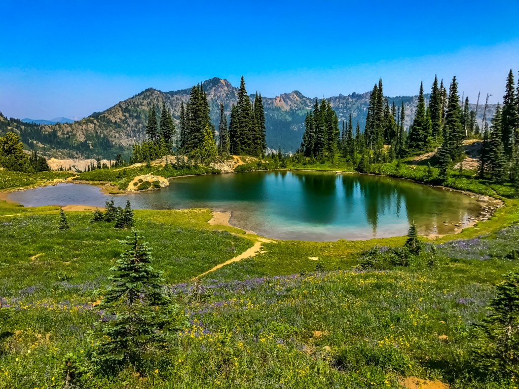
We arrived at the Tipsoo Lake Comfort Station area around 9:30am. A little later than I had hoped, but there was plenty of parking when we arrived. The lot holds about 30 cars, maybe more, but I did not take the time to stop and count. (That’s me being cheeky by the way.) There are some small trails that go out and around Tipsoo Lake, but we opted to get started on the main trail.
The day was beautiful, albeit smoky. Recent wildfires were starting to die down, but the smoke was still hanging on. It wasn’t too bad, but for those sensitive to smoke it might not be a great day. The trail immediately takes off heading up the hillside giving a beautiful view of Tipsoo Lake and the surrounding area. You then walk through the trees and a few small meadows before coming to the bridge that crosses highway 410 and joins the trail with the PCT.

View of Tipsoo Lake as the trail ascends along the hillside. Smoky but beautiful! 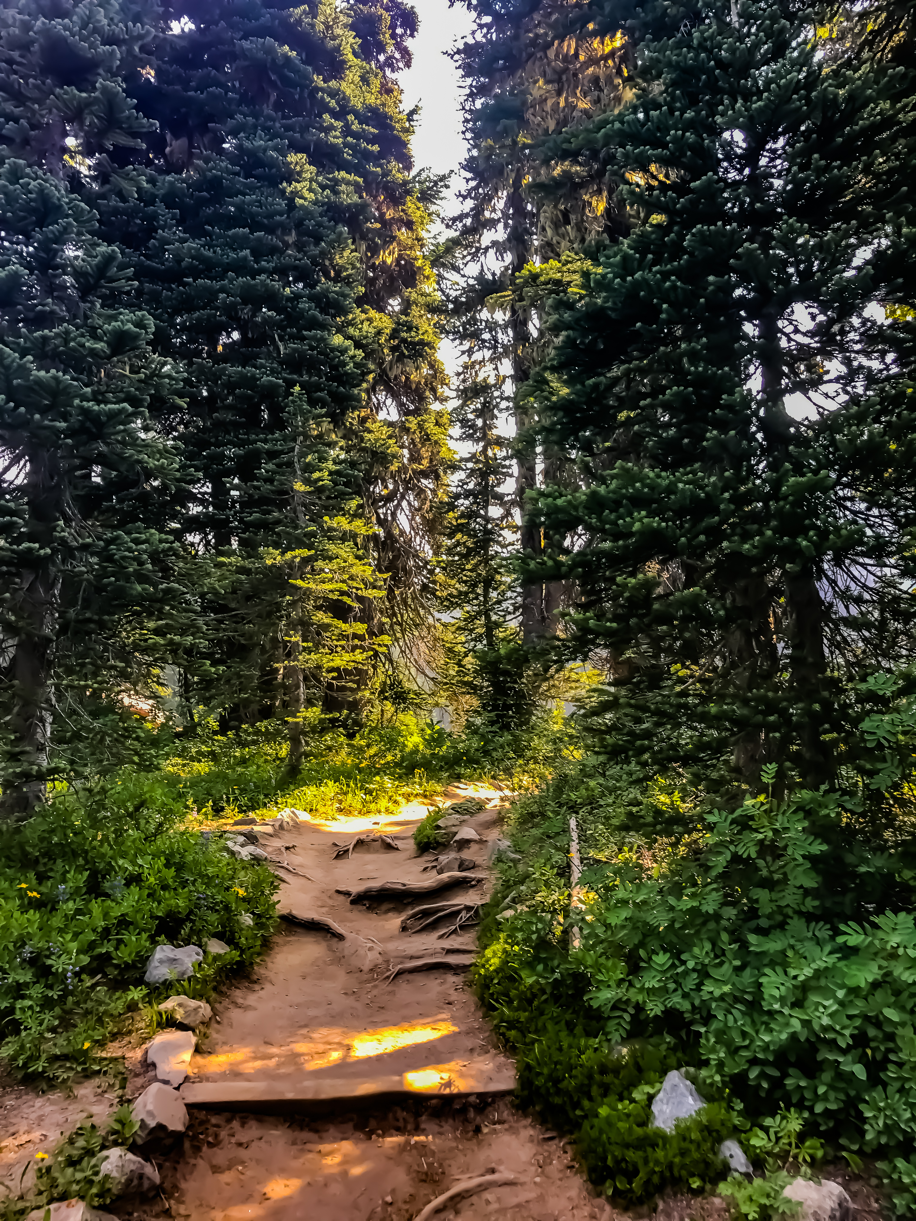
Hiking up through the trees and meadows. 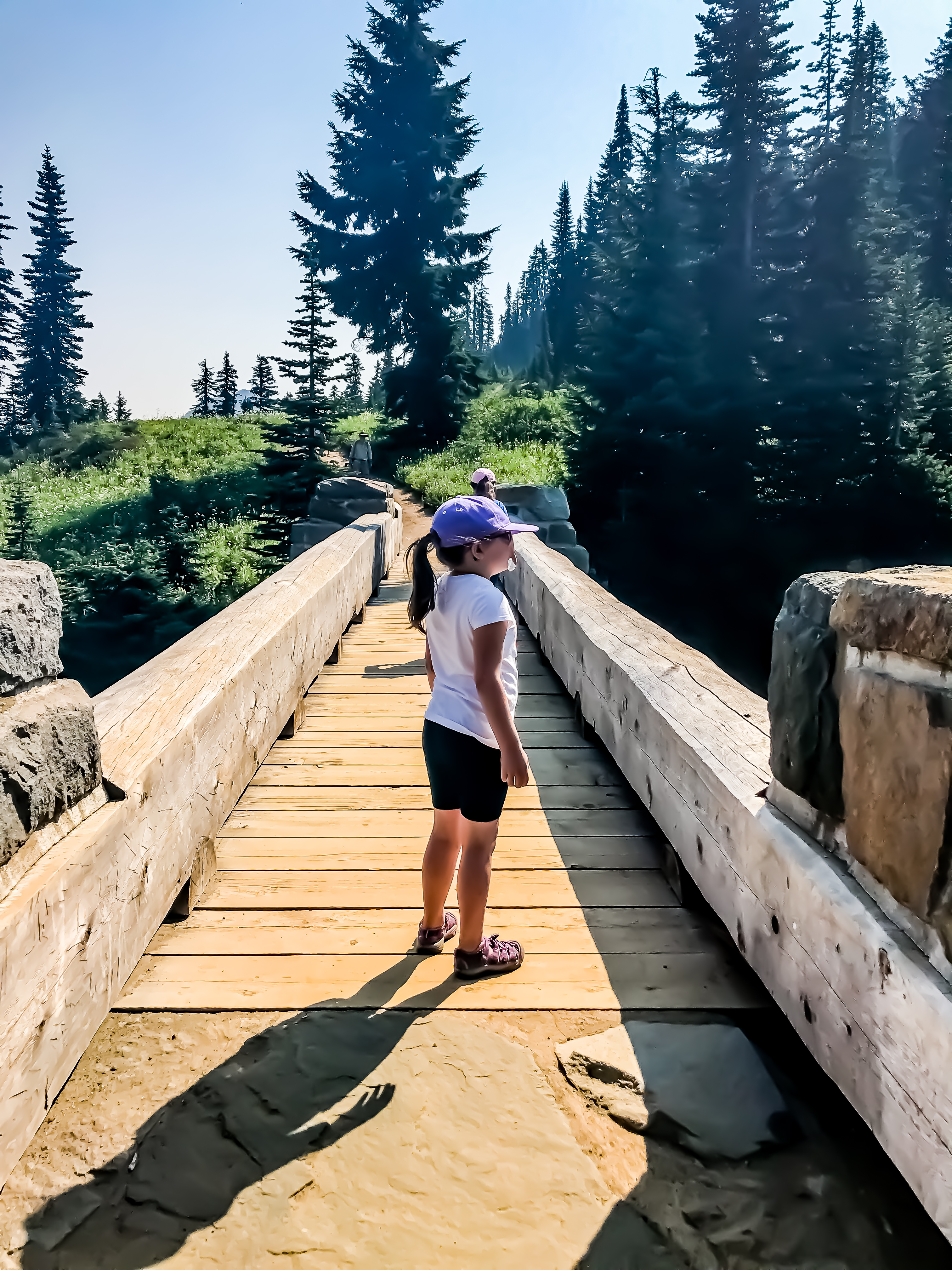
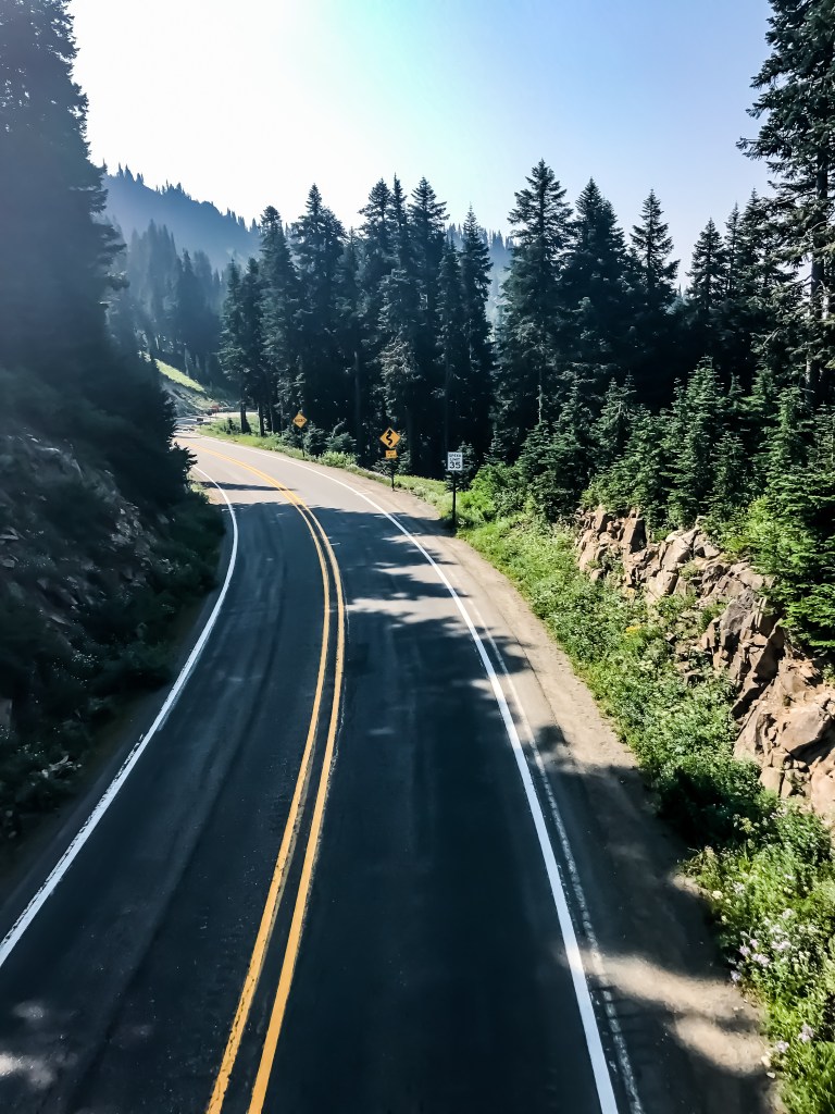
Crossing Highway 410 close to the official Chinook Pass. Kind of neat to stand over the highway and watch the cars pass by.
Our view from the footpath bridge. 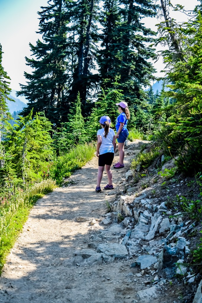
Taking in the views of Chinook Pass and Highway 410 from the trail. 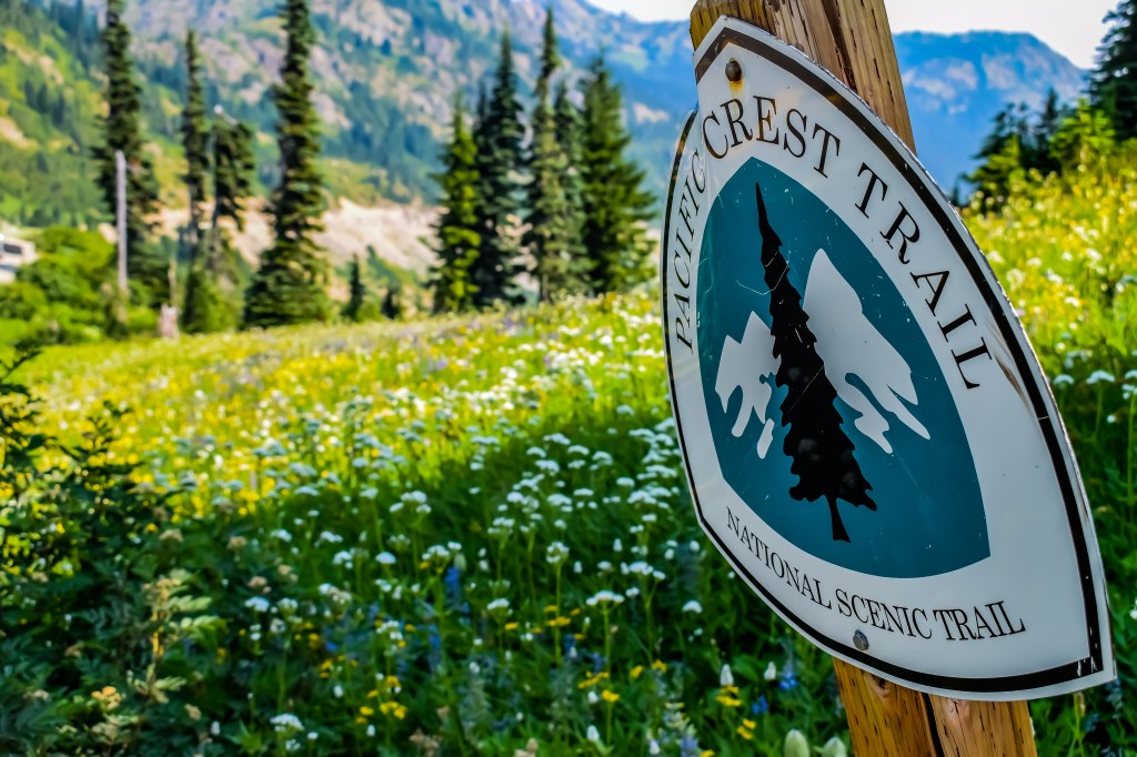
Officially hiking on the PCT. Pretty cool if you ask me!
Now the hiking officially begins as the trails climbs along, through the trees and up closer to the peak. While most of the snow is now gone, it still clings in certain areas. Melting snow and standing water anywhere means one thing… mosquitoes! Boy were we swarmed. The minute you stopped to take a break or take a picture they were everywhere and our natural bug sprays did nothing to stop them. Its not a popular opinion, but sometimes DEET is the only option.
Despite pesky insects, we were having a great time. The wildflowers were blooming in full force and the colors were stunning. I doubt my pictures do them any justice, especially with the haze from fires, but I did my best. The east side of the peak still had small snow banks that were still melting out in the August heat. Now we knew why those pesky mosquitoes were still around. The small lakes and ponds on the east side had stunning views of Chinook Pass and the expansive Wenatchee National Forest.
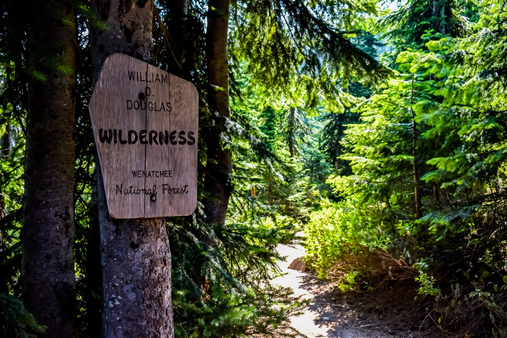
Venturing into the William O Douglas Wilderness. 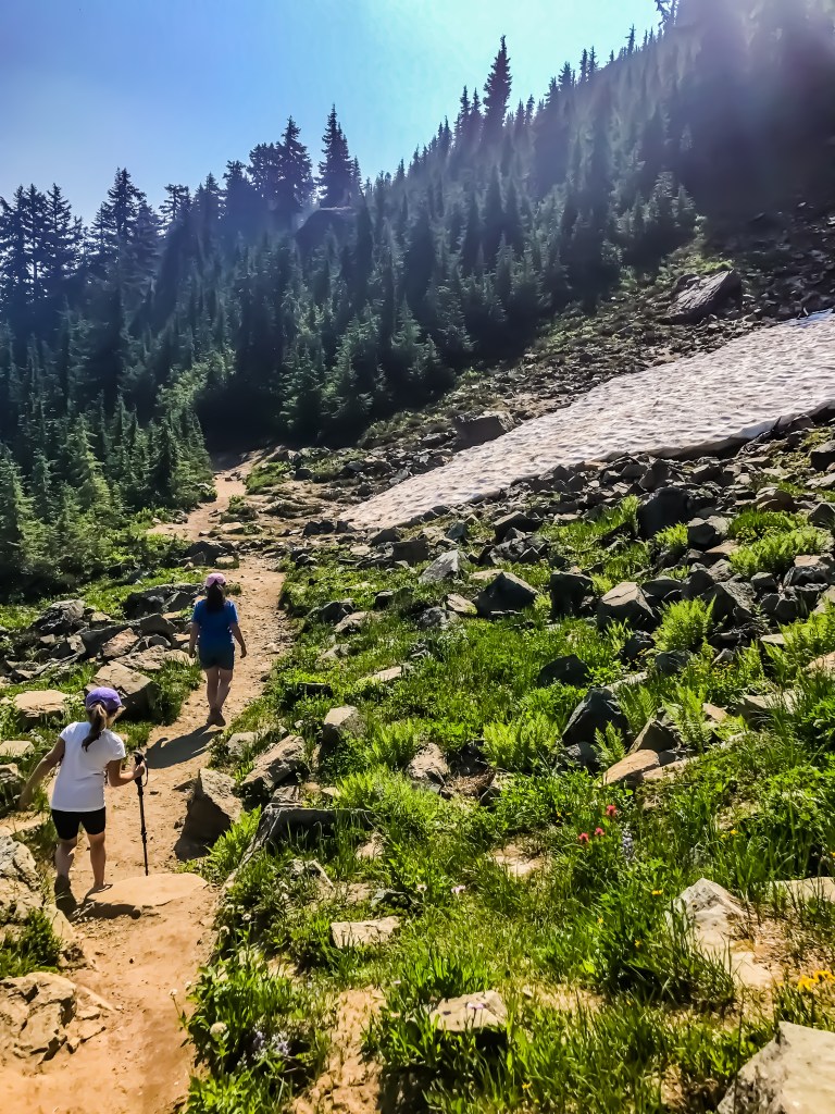
It might be August, but the snow was still hanging on. Especially on the east facing sides. 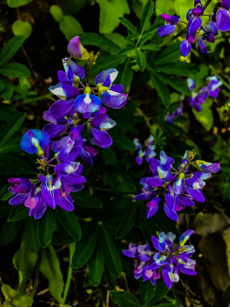
Just a sample of all the beautiful wildflowers we passed. 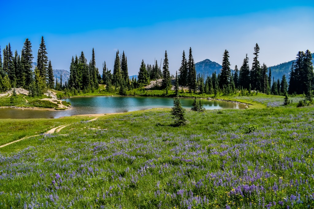
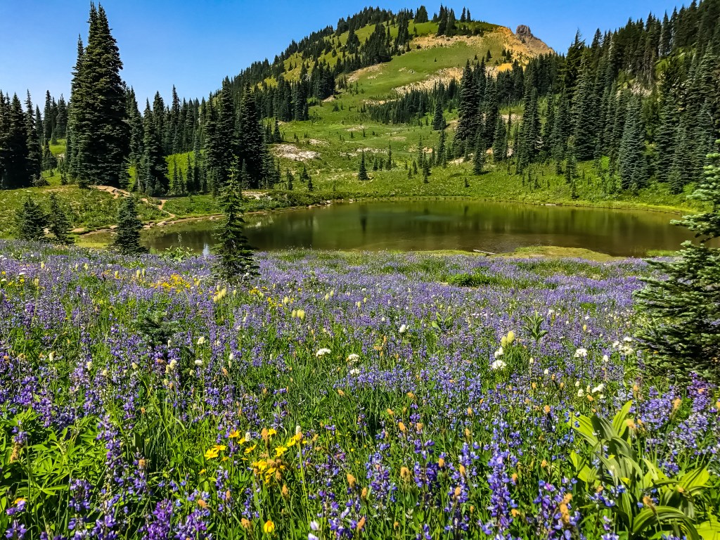
Wildflowers and beautiful green-blue ponds.
As the trail wraps around Naches Peak, we came across many springs and snow melt waterfalls. We couldn’t stop and enjoy them for too long, unless we wanted to be a mosquito feast, so we kept on going. When we passed the southeast side of the mountain, we caught views of Dewey Lake to the south and well below us. At this point, the trail splits off with the PCT. The PCT continues on down towards Dewey Lake, while the Naches Peak Loop Trail continues on to the south then west gradually turning us back to highway 410 and our starting point.
Just after the junction you round another bend and suddenly the payoff for this hike is right in front of you. There, in all of her glory, stand Mt. Rainier framed with blue-green colored seasonal pond and meadows full of red, white, purple, and yellow wildflowers. The view made it worth it and I could see why most folks do this hike clockwise from the Tipsoo Comfort Station. You can go counter clockwise, that’s entirely up to you, but you will have Mt. Rainier at your back most of the hike. Nothing is more motivating then hiking towards such a beautiful mountain.
Looking toward Chinook Pass. 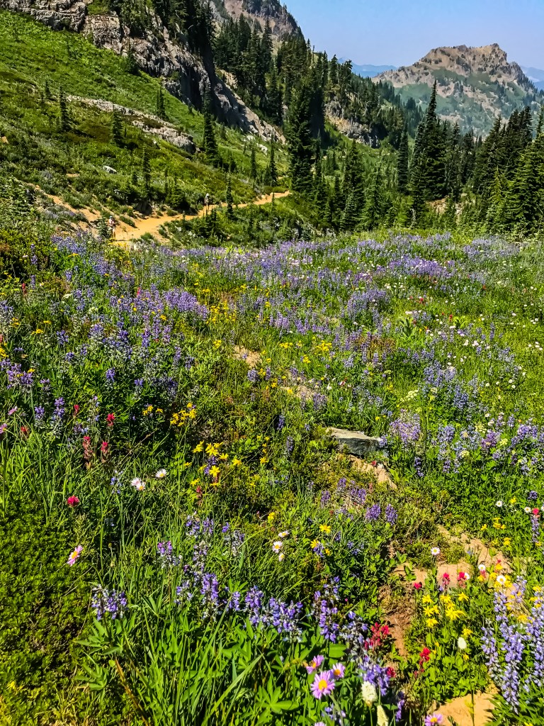
Looking back on the trail close to the seasonal ponds. 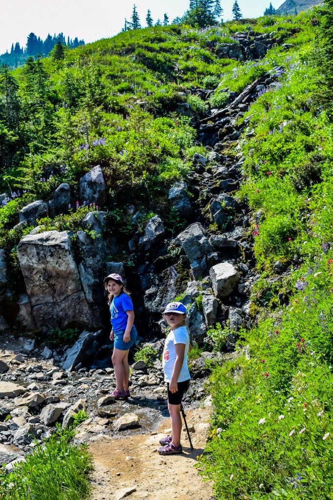
All the pretty waterfalls! But keeping walking. Those pesky mosquitoes will get you! 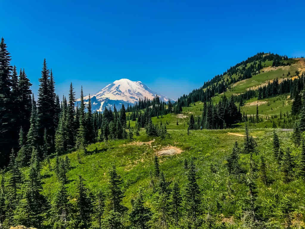
Our first spectacular views of wildflowers and Mt. Rainier. 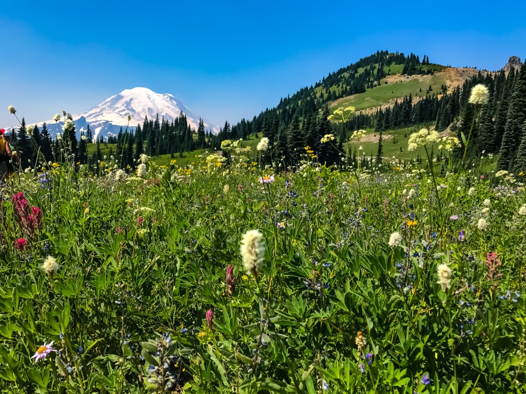
This section of trail took the longest. Not because it was hard, but because we stopped every few hundred yards to take pictures. We weren’t the only ones. This is where we ran into the most people on the trail. Everyone was stopped to drink in all the beauty this spot had to offer. We met a family visiting from New Jersey. Their dad made me giggle because he was wondering if this trail ever stops going up and then admitted that living at sea level was catching up with him quickly. I will say, when you do the trail clockwise, it does keep gradually heading up until you hit these meadows. We talked for a moment about the heavy snow season and how they felt so lucky. They thought that coming in August would mean things would be dry. Instead is was green, full of wildflowers and absolutely gorgeous. I love meeting people out on the trail!
After we crossed through all of the beautiful meadows, the trail started to descend. Its at this point I started to not feel great. Because this side was drier, we could stop for a bit and rest without being attacked. I had to sit and eat and hydrate as best as I could. My stomach hurt a bit and I started to feel a bit weak and light headed. It was warm and we were at nearly 6,000ft, so I had a feeling the altitude was getting to me. After a snack and water break, we continued on. The trail obviously gets a lot of water on this side and new boot paths have been created to get around deep ruts in the trail. Some spots took some effort to get around, but they weren’t horrible. It made me feel a bit worse but luckily the rest of the hike was downhill and it wasn’t long before we were in the car.
The snacks and cool AC of the car were our reward for a job well done. Had I not started to feel kind of crummy on the way down, I would have said that this was a fairly easy hike. Those who live at sea level or fairly low elevation might have an issue adjusting to the altitude and find the trail a bit more challenging because of that. Not feeling well made the last bit of the hike feel harder, but I had a great time hiking it. This is one hike I know I will do again!
Naches Peak Loop Trail Stats:
Difficulty: Easy to Moderate (Keep in mind you are hiking at about 5200ft. If you aren’t used to elevation, this might make it feel a bit harder.)
Length: 3.2 Miles Round Trip, Loop
Elevation Gain: 600 ft
Rating: 5 out of 5
